Approximate Distances by Road
Belize City to Belize Zoo 29 Miles
Belize City to Belmopan 50 Miles (about 1 hour)
Belize City to San Ignacio 73 Miles
Belize City to Benque Viejo del Carmen 81 Miles
Belmopan to San Ignacio 23 Miles
Belmopan to Benque Viejo del Carmen 31 Miles
Belize City to Maskall Village 39 Miles
Belize City to Orange Walk Town 54 Miles
Belize City to Corozal Town 84 Miles
Belize City to Santa Elena, Corozal 93 Miles
Belize City to Sarteneja 110 Miles
Belmopan to Dangriga 55 Miles
Dangriga to Placencia 55 Miles
Dangriga to Punta Gorda 107 Miles
The main roads connecting the places you intend to go are either
paved or in good condition. No need for a four-wheel drive vehicle.
The exception is the Coastal (or Manatee) Highway which is a shorter
route from Belize City to Dangriga; it's not paved and is not always
in good condition but you won't need a 4WD unless there has been
some heavy rain.
Times will vary but BC to Belmopan is usually 1 hour because you
can stick to the maximum speed limit for most of the trip. From
Belmopan to San Ignacio, there are more villages where you should
slow down. The highway from Belmopan to Dangriga is through a hilly
region region and maximum speed should not be maintained the whole
trip - plan on 2 hours but it will probably be more like 1.5 hours.
From Dangriga to Placencia, you can go via the paved Southern
Highway part of the way or via an unpaved road. 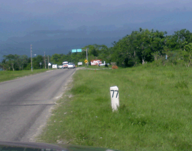
Showing the Road Mark at Mile 77
|